
Services

What we do for your project.

Eight service areas spanning the full project life — from first assessment through feasibility, operations, and site restoration. Delivered individually or as a complete package, and built to withstand regulatory review.

Video
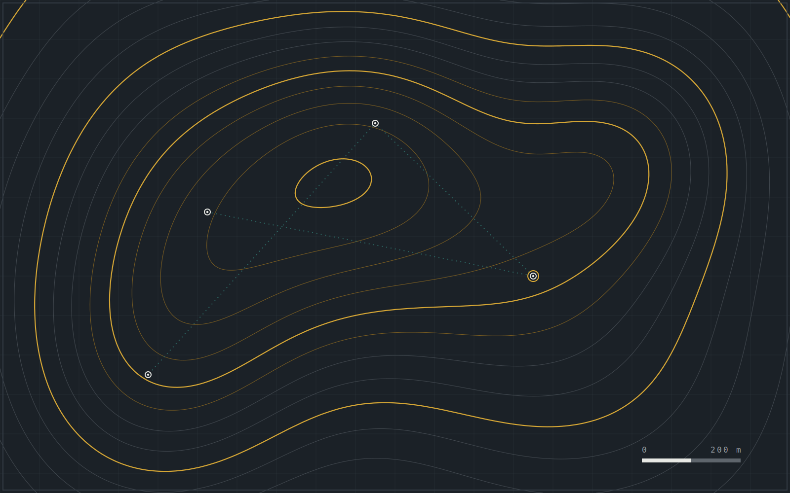
Topographic contour model of a survey area with marked survey stations and traverse.

Terrain & contour model

Survey
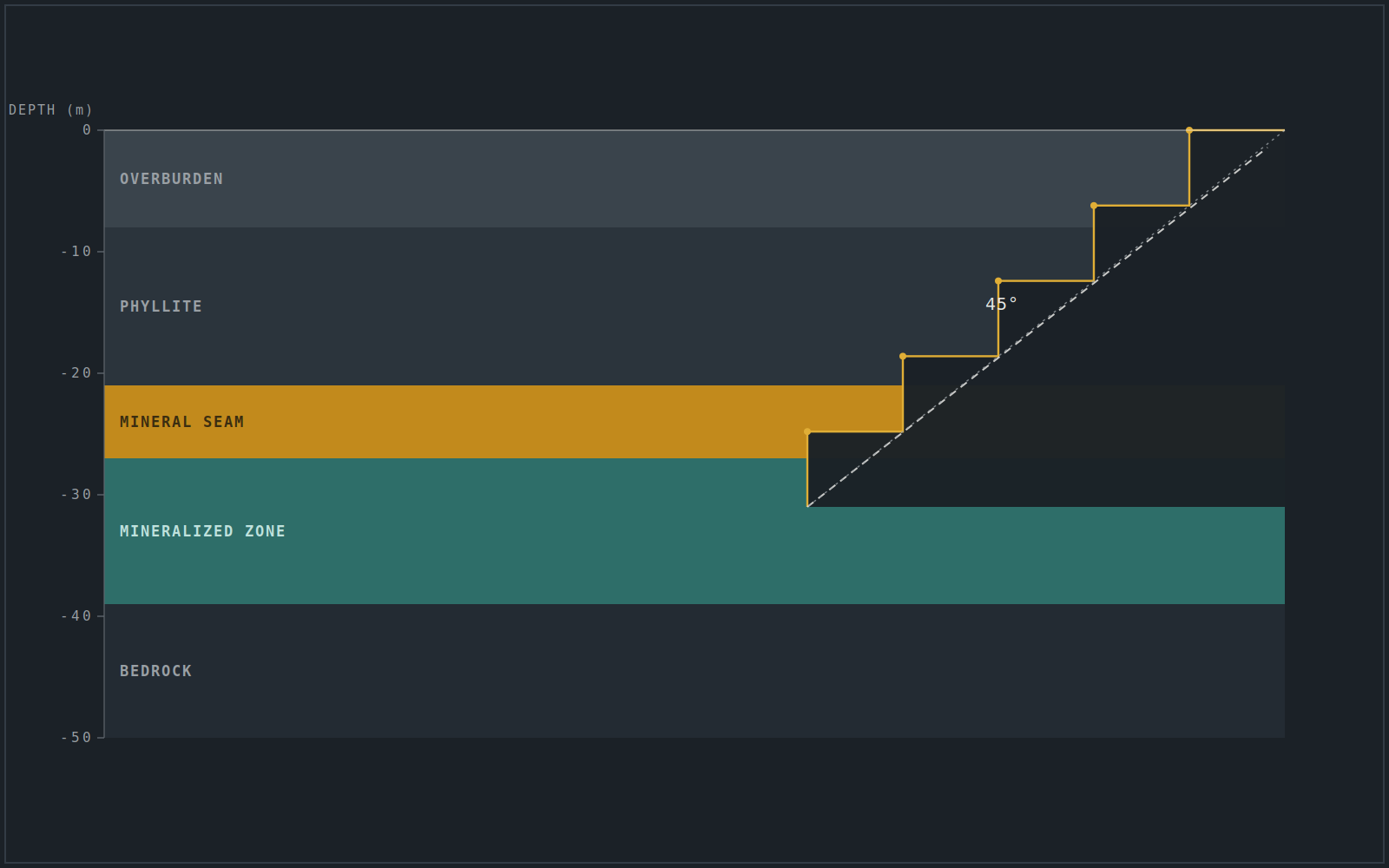
Cross-section showing planned pit benches cut through layered geological strata.

Pit design & extraction sequence

Bench geometry · slope · haul ramp

Design
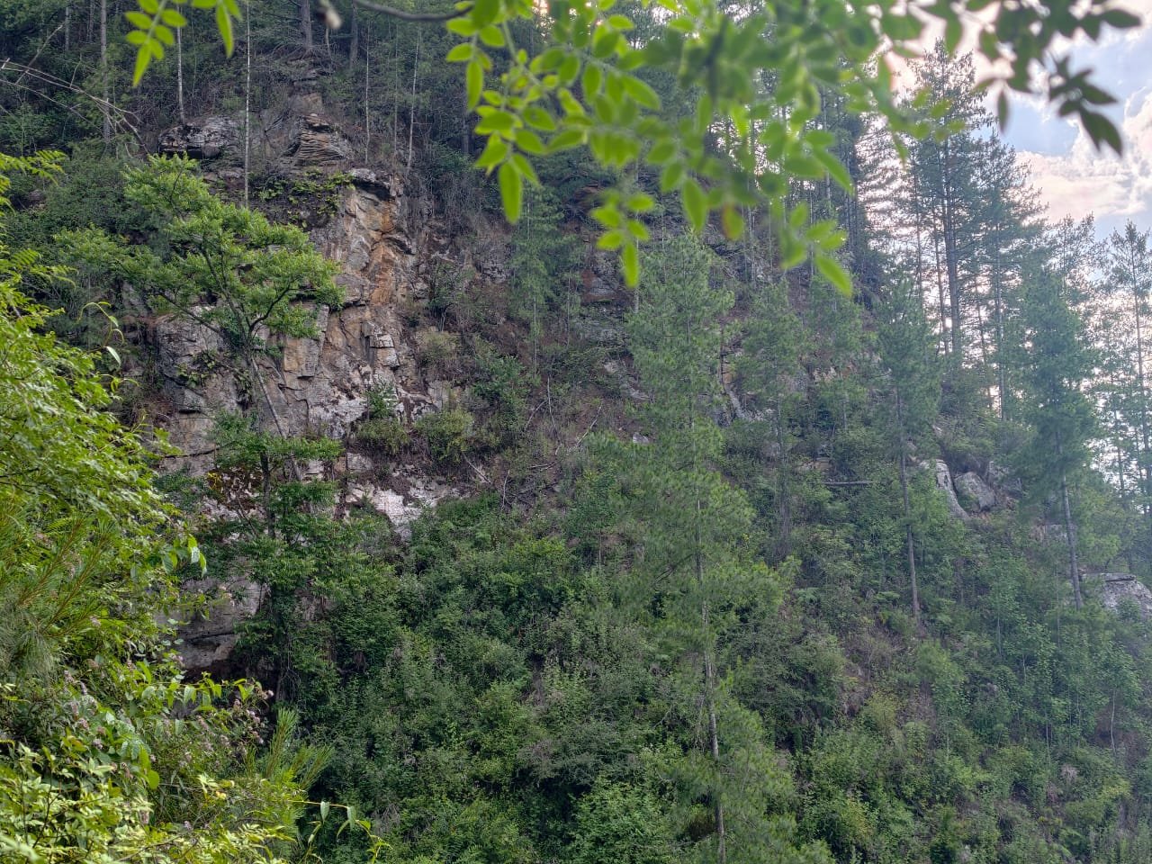
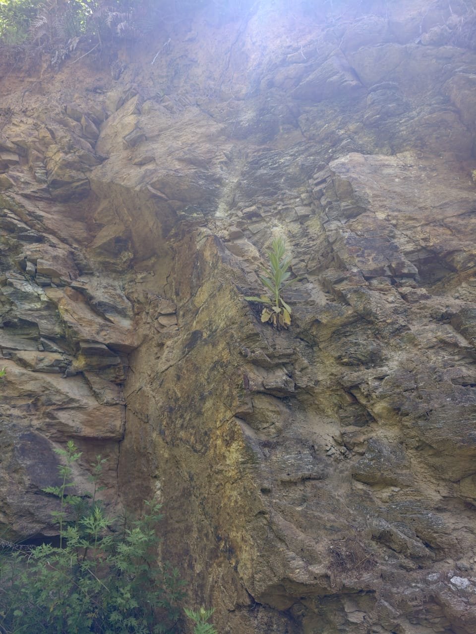
Vegetated cliff face exposing rock strata at the survey site.

Cliff face & rock exposure

Field
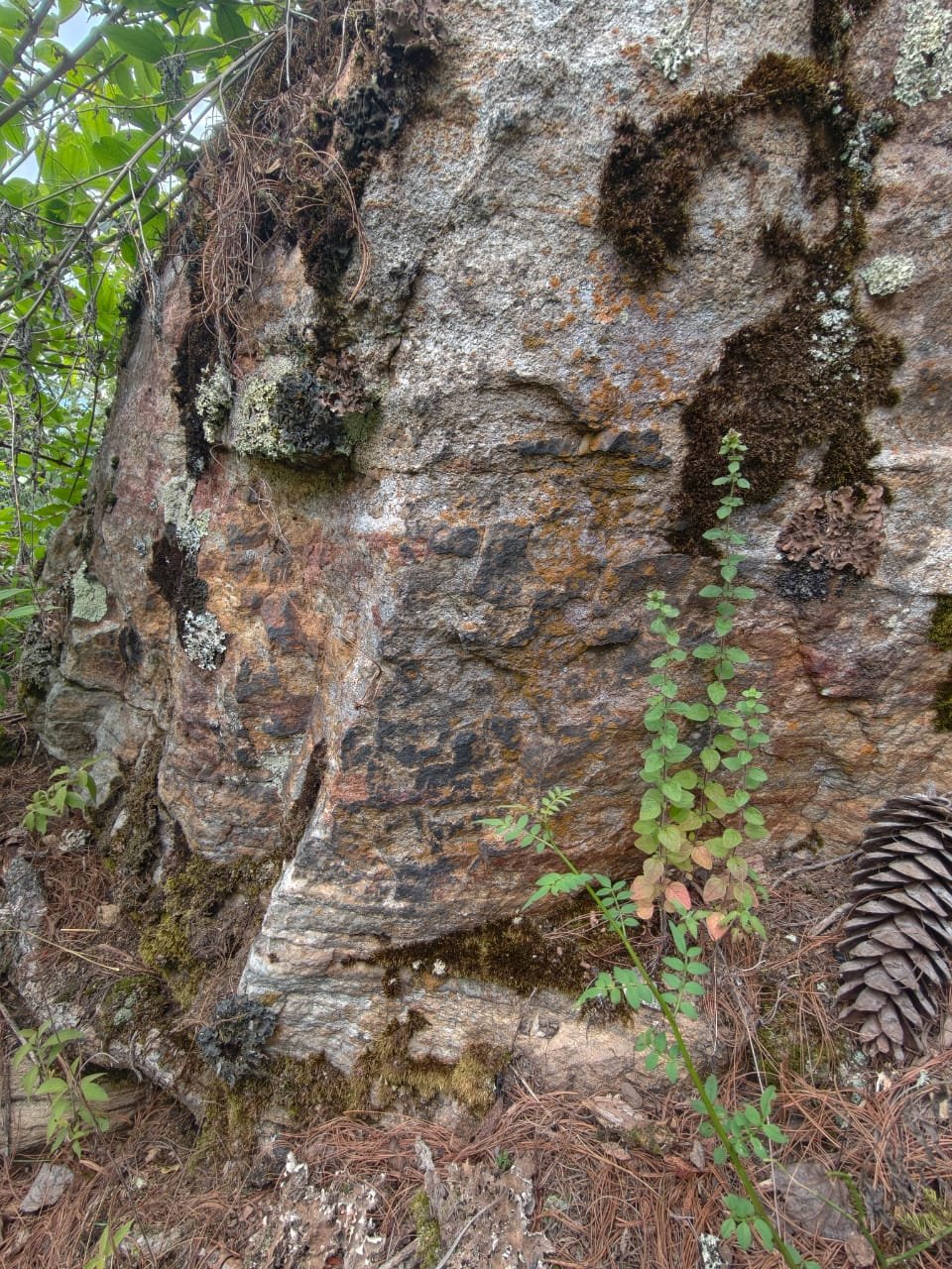
Close-up of a lichen-covered boulder showing surface rock texture.

Surface lithology

Field
Steep exposed rock face with sparse vegetation.

Quarry rock face

Site
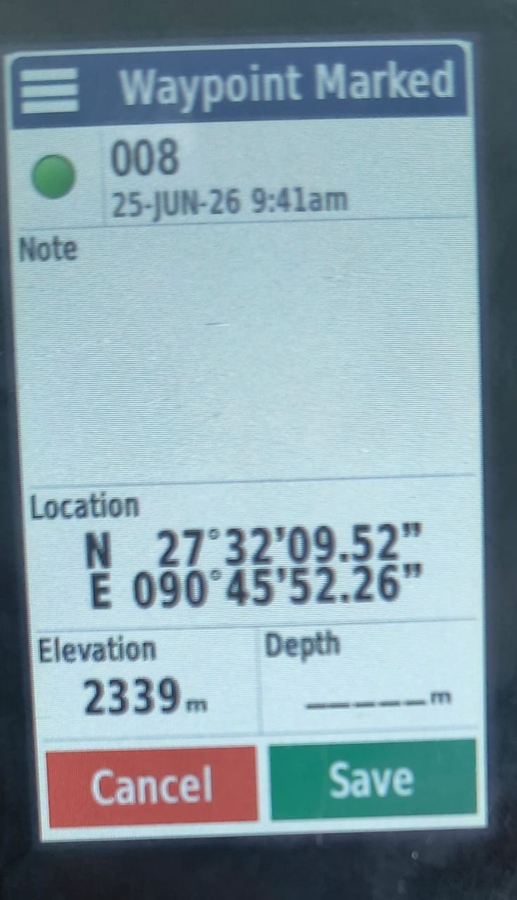
Handheld GPS unit displaying a marked survey waypoint with coordinates and elevation.

GPS survey waypoint

Survey
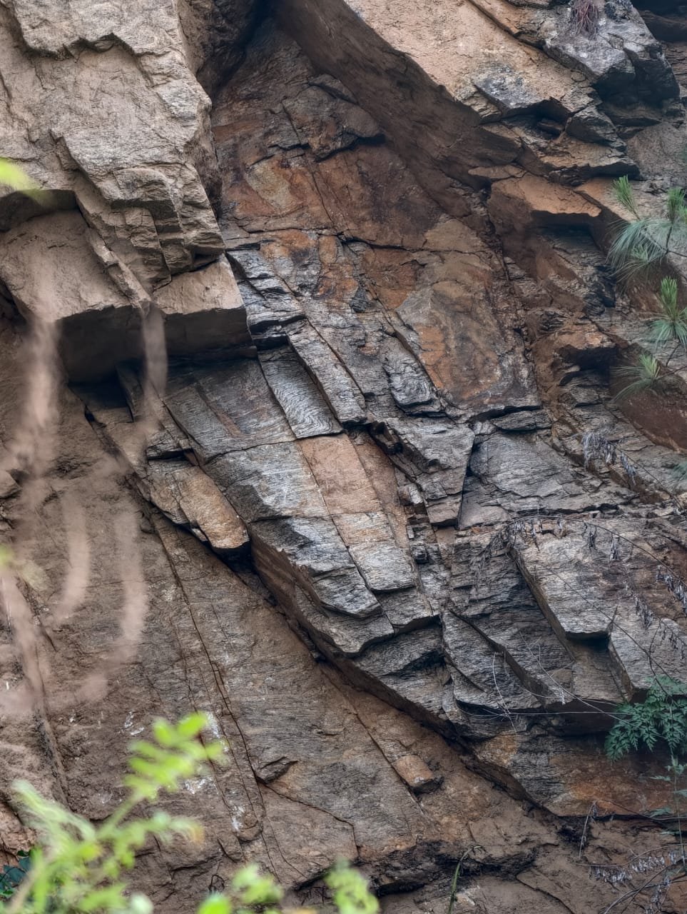
Exposed rock face showing folded and layered geological strata.

Exposed strata & structure

Geology
1 / 8
01

Pre-Feasibility Reports (PFS)

Early-stage technical and economic assessment that establishes whether a deposit is worth advancing — covering geology, indicative reserves, preliminary mine design, and viability. Structured to respond directly to Department of Geology & Mines review comments.

Geology & reservesPreliminary designViabilityDGM compliance
02

Final Mine Feasibility Study

The full study confirming technical and financial viability in detail — definitive mine design, production scheduling, capital and operating costs, and risk assessment. The basis for investment decisions and final approval.

Definitive designSchedulingCost & risk
03

Mine Planning & Designing

Pit and quarry design from first principles — bench height and width, overall and inter-ramp slope angles, haul-road gradients, and extraction sequencing — optimised for safety, recovery, and cost.

Bench designSlope geometryHaul roadsSequencing
04

Geological Studies & Mapping

Field mapping, structural interpretation, and representative sampling to characterise the deposit — defining what is in the ground, its quality, and its extent, with survey support by certified drone where required.

Field mappingSamplingDrone surveyResource
05

Mining Process & Legal Advisory

Guidance through mining operations and the regulatory framework — lease and licensing requirements, compliance, and process advisory under Bhutanese mining law.

LicensingComplianceProcess advisory
06

Environmental Impact Assessments (EIA)

Assessment of a project’s environmental and social effects, with practical mitigation measures, prepared to meet regulatory requirements for approval.

Impact assessmentMitigationSocial effects
07

Environmental Management Plan (EMP)

A working plan to manage, monitor, and minimise environmental impacts through the life of the operation — with clear responsibilities and monitoring measures.

MonitoringMitigationOperational controls
08

Mine Restoration Plan (MRP)

Closure and rehabilitation planning to restore the site after extraction — landform reshaping, revegetation, and post-mining land use, aligned to regulatory closure requirements.

ClosureRehabilitationLand use

Need one service, or the full study?

Select the services you need on the application form and describe your project.

Apply for services